

Cartes de Twinsburg
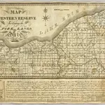 Map Of The Western Reserve Including the Fire Lands In Ohio.1833|Taylor, Allen1:410 000d
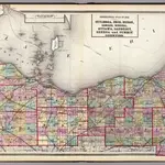 Cuyahoga, Erie, Huron, Lorain, Medina, Ottawa, Sandusky, Seneca, and Summit counties.1872|Walling, H. F.1:300 000d
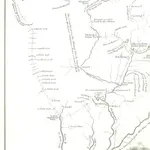 History of the Conspiracy of Pontiac, and the war of the North American tribes against the English Colonies after the conquest of Canada. [With introductory chapters. 1608-1769.]1851|Parkman, Francisb
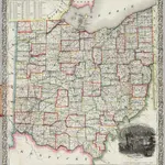 Railroad & Township Map Of Ohio1853|Thayer, Horace & Co.1:570 240d
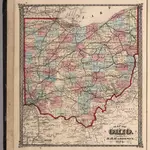 Ohio.1874|Hardesty, H.H.d
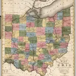 State Of Ohio1831|Kilbourne, J.1:950 000d
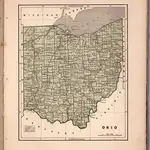 Ohio1845|Breese, Samuel1:1 400 000d
1600
1650
1700
1750
1800
1850
1900
1950
2000

