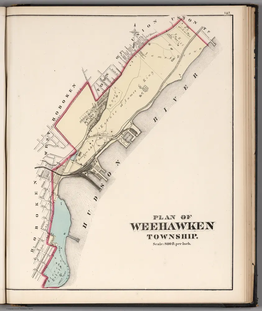
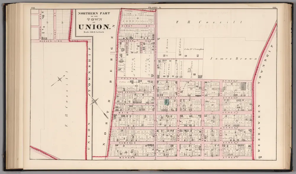
Mapas antiguos de Union City (Nueva Jersey)
Descubra el pasado de Union City (Nueva Jersey) en mapas históricos
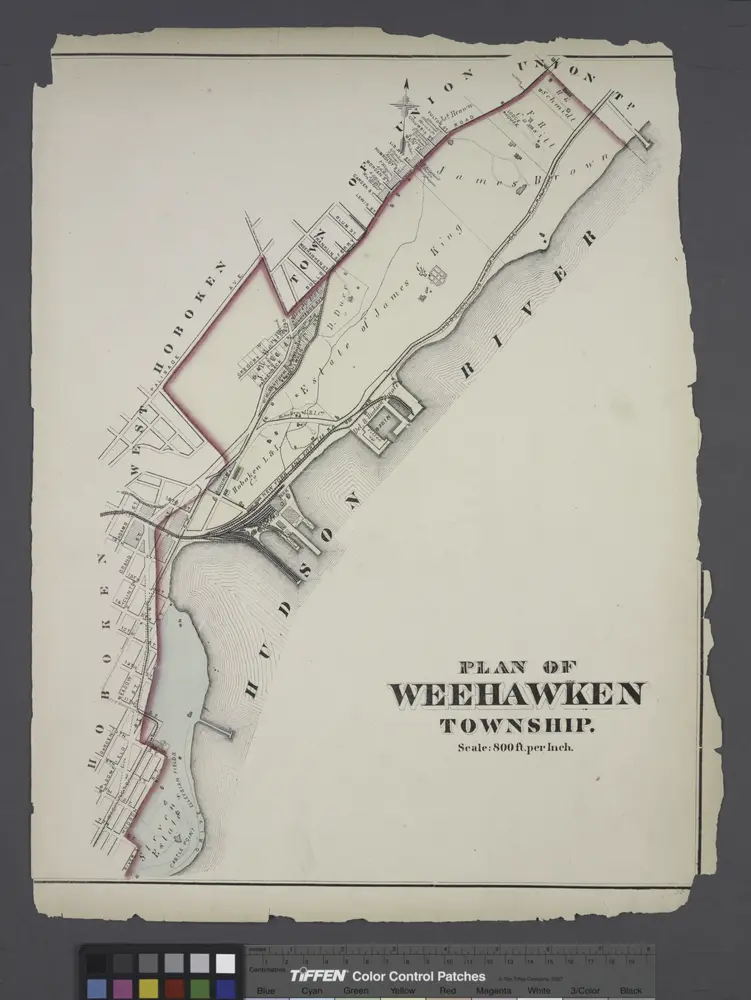
Mapas antiguos de Union City (Nueva Jersey)
Descubra el pasado de Union City (Nueva Jersey) en mapas históricos
En busca de un Google Maps API Alternativa?